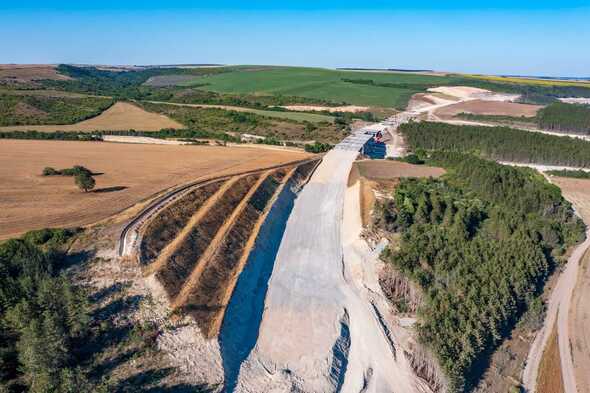
Discover the benefits of our mapping platform for construction projects, aiding in the development of railways, highways, airports, and ports, yielding substantial results
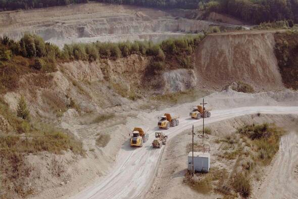
Mining and metals
Enhance efficiency and safety across your mining operations. Harness the power of data-driven insights to optimize every aspect of your mining workflow
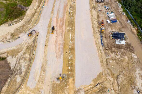
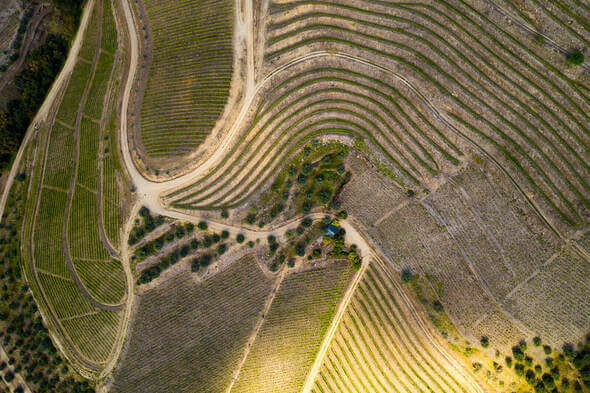
Aggregates and earthworks
Utilize mapping drones to enhance volume calculations and streamline site planning for aggregates and earthworks projects
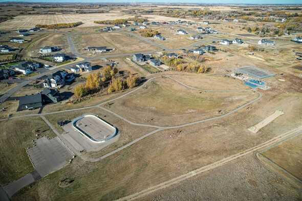
Urban planning and land management
Achieve survey results of the same high quality as traditional methods, but in significantly less time, thanks to our efficient surveying solutions.
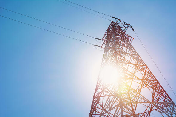
Energy and utilities
Mapping drones revolutionize asset monitoring and maintenance within the energy and utilities sector, ensuring streamlined operations and enhanced efficiency.
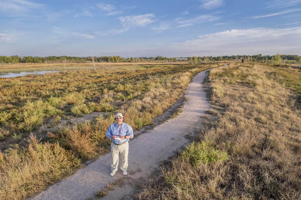
Environmental monitoring
Employ mapping drones for rapid, high-resolution wildlife tracking and land monitoring, offering a cost-effective alternative to manned flights.
Agriculture
Integration of mapping drones in agriculture accelerates advanced scouting for farmers and researchers, significantly reducing time requirements.
Pilot plateforme
Digital Platform: Connect Pilots with Those in Need of Drone Services
Image processing plateform
AI-Integrated Digital Platform: Upload Photos, Receive Instant Reports for Diverse Client Applications
IN NEED OF ASSISTANCE? Reach out to us, and let our team of experts help you discover how our services can cater to your requirements